This ambitious restoration project has successfully restored 350 acres of estuarine marsh on behalf of the Tulalip Tribes and a multi-agency natural resource trustee council. Qwuloolt, meaning “marsh” in the Lushootseed language, is located within the Snohomish River floodplain approximately three miles upstream from its outlet to Puget Sound.
Why does this project matter?
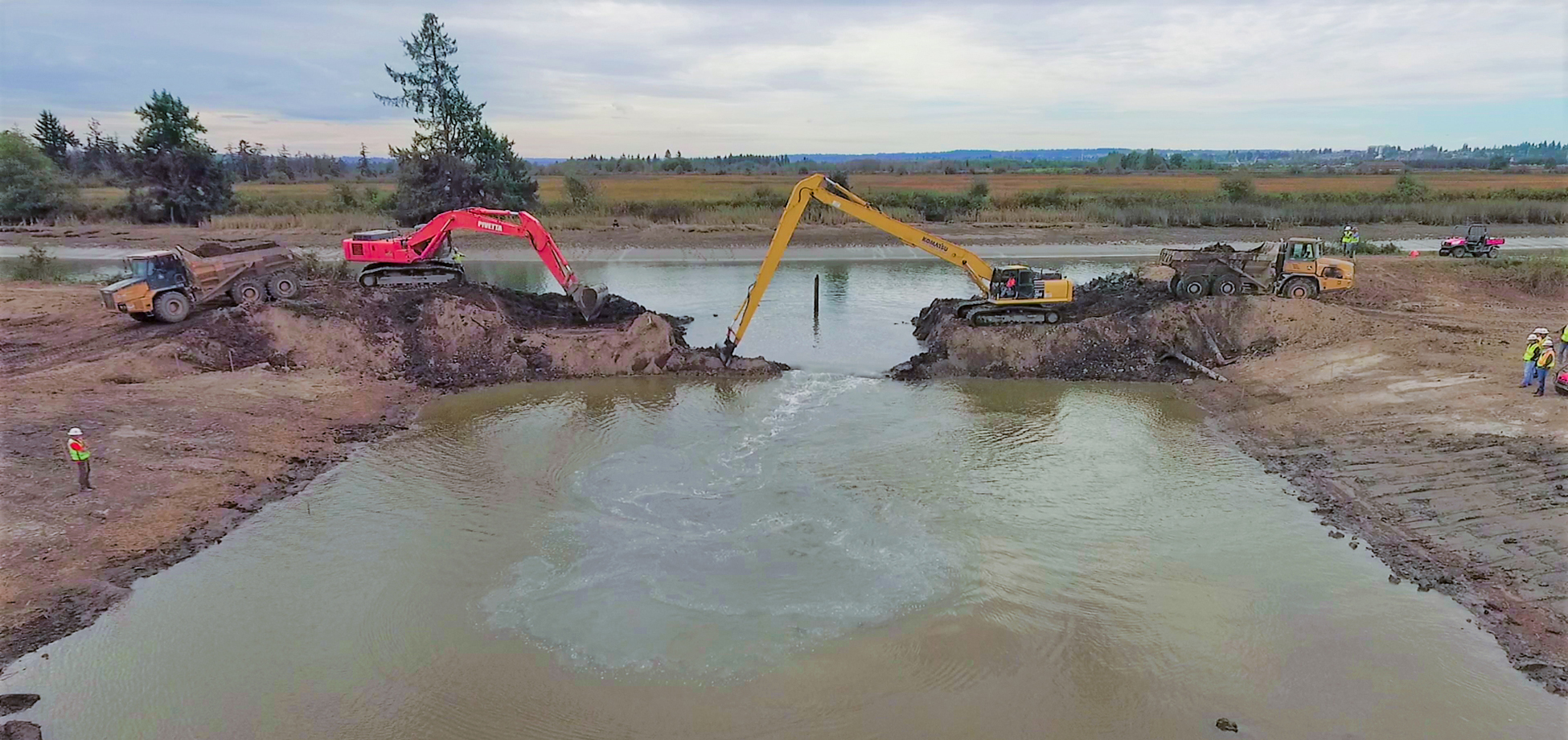
The Qwuloolt estuary is a 390-acre site at the mouth of Allen and Jones Creeks within the City of Marysville and adjacent to Ebey Slough. The project’s goal was to return land formerly farmed to tidal estuary habitat. The preferred alternative for the project was the removal of levees along Ebey Slough to reestablish tidal and creek connections, thereby reactivating emergent marsh and forest scrub-shrub vegetation and restoring fish passage and ecological processes.
What is ESA doing to help?
ESA worked with the Trustees to provide restoration design, environmental permitting, and construction support services. ESA assisted with the development of alternatives for site restoration and developed the selected alternative that reoriented the site to drain to Ebey Slough further upstream than the former mouth, which avoided substantial tidal flow at the toe of the City’s wastewater treatment plant levee.
As the project progressed, ESA provided design and construction support services for the tidal channel system, breach location, retrofitting of utilities, and revegetation of the surrounding slopes. To address wind-driven waves, ESA designed a system of wave attenuation berms consisting of channel excavation spoils located throughout the site. These berms will limit wave generation within the site and offer a planting platform for the native tidal shrub vegetation that once dominated the site. The design addressed flood risks through a suite of actions, including a setback levee and stormwater detention basin with ecological and water quality benefits.
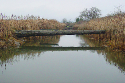
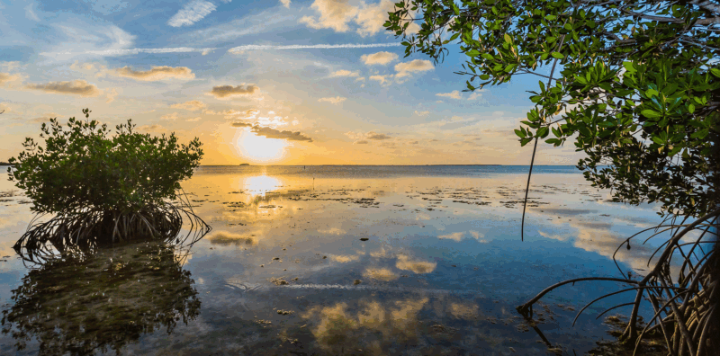
Full restoration of natural estuarine processes and habitats will take decades, but changes to the hydrology, vegetation, and ecology have already proven themselves to be thriving at the site. NOAA has collected substantial pre-project data for fish use in the Lower Snohomish River and will continue to capture post-project data to track how the site develops.
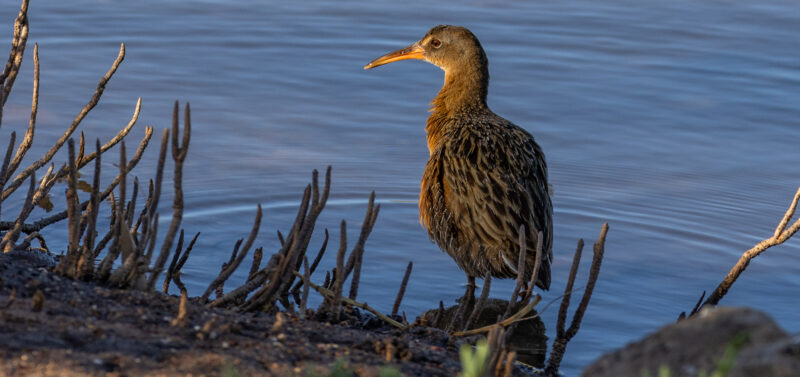
The project design was accomplished collaboratively with the multi-agency Trustees, including the City of Marysville, the US Army Corps of Engineers, the National Oceanic and Atmospheric Administration, the U.S. Fish and Wildlife Service, Washington Department of Ecology, Natural Resources Conservation Service, and the Puget Sound Partnership. Monitoring by the Tulalip Tribes is ongoing with a team that includes NOAA and the USGS. The project construction was completed in 2017 and the site is evolving toward reference site ecology characteristics in terms of increased vegetation along with growing populations of birds, estuarine fish, and invertebrates.